
OPENING QUESTION: Let's see if we can see THIS (we'll be using that along with Google Earth!)
LEARNING GOAL FOR TODAY: I will be able to use a protractor to practice navigation during today's class
WORDS O' THE DAY:
- Navigation: ("controlling the movement of a plane from one place to another")
- Dead Reckoning ("Navigation where you head in one direction at a particular speed for a certain length of time and hope you end up where you want to")
- VFR - Visual Flight Rules - The first certification a pilot earns. VFR pilots can only fly in fair weather and ONLY during the day
- IFR - Instrument Flight Rules - The second certification a pilot earns. IFR pilots can fly at night and in poor weather (using instruments!!!)
WORK O' THE DAY:
Please send someone to the back counter to grab a protractor for each person in your group!
Let's revisit last week's outside activity -- how do you suppose it relates to the diagram below? Turn to the person next to you and suggest at least two ways that it might

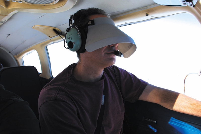
Although a beginning pilot has MANY different navigational aids to use (AND LEARN!), the very first license (or 'rating') a pilot earns is called "VFR".
A VFR rating is pretty much like a WWI pilot. You have to be able to see where you're going in order to fly!
Once a pilot has earned a VFR certification, it's time to move on to the "IFR" rating.... my friends who have done that tell me it's a bit un-nerving:
The very next certification a pilot must earn is called "IFR" which stands for "Instrument Flight Rules" which means you are able to fly the plane *WITHOUT* looking out the window...
rumor has it this stage of training can be rather intense.
Why do you suppose this stage of flight training is SOOO important?
We're going to actually learn how a particular type of instrument that pilots use in IFR flight.
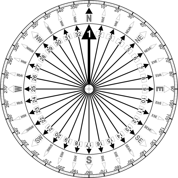
Before we do that, however, we'll need to get a wee bit of practice using an online protractor. Let me demo a bit on how we use that device to measure angles
═══════════════════════════
It turns out that there are MANY protractor apps you can download for your phone. If you do have a phone, and your folks are ok with you downloading apps, go ahead and do that now. I'll also pass out plastic protractors if you prefer...
(please place them in the cardboard box when you're done so I can give them a squirt)
═══════════════════════════
Let's do that now.
Now let's practice just a wee bit:
═══════════════════════════
Now let's learn a wee bit about a common navigation aid known as VOR
Intro to VOR:
VHF Omnidirectional Radio Range
Here's a step - by - step tutorial that is a bit less technical than the videos below.
Try skipping through THIS "beginner" video and/or THIS somewhat more advanced video a wee bit.
Both vids gets kinda technical (it assumes you are already a pilot, and as far as I know, NONE of us can fly a plane!) so just see if you can get some sort of idea how it works.
═══════════════════════════
Before the days of GPS, VOR beacons basically sent out straight-line radio "beams" (called "Radials")
Navigation equipment on board the plane allows pilots to determine how far away from those lines the plane currently was.
Using those radio beams, a pilot could follow that beam away from a source or towards a source and have very high confidence of the plane's position on the paper charts.
Imagine you are flying from point A to point B across the country. You THINK you are about 30 minutes away from Wolgieville and are approaching from the northwest (that would be 320 degrees by your compass). You know from your paper charts that there is a VOR beacon a few hundred miles away. How might you use that straight line radar beam to determine how close you are to Wolgieville?
═══════════════════════════
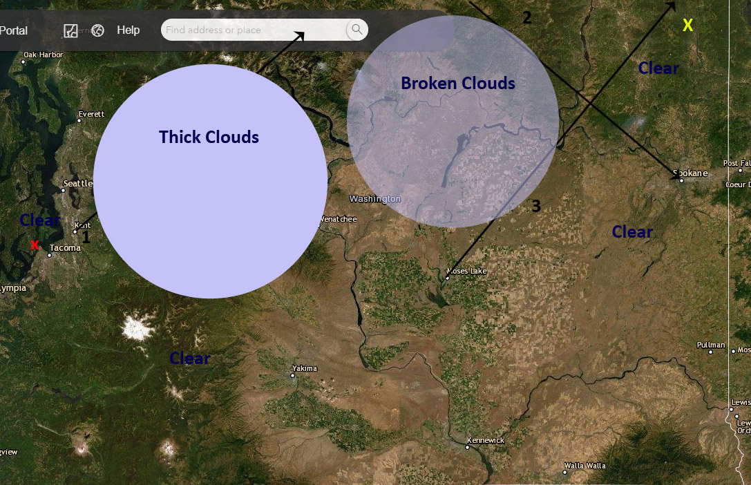
Consider the following map:
═══════════════════════════
Work for today:
1) Download that picture
2) Print the picture (if you have a printer - B/w is fine)
3) If you or someone at home has a smart phone - download a protractor application (there are a number of very good ones) that use the camera on your phone
4) Note that there are 3 "Radials" (lines in black)
5) Identify where each radial is going out from a particular city or going in towards a particular city
6) Use the protractor app to measure the angle of each of those "Radians"
Work for Tomorrow:
Imagine you need to fly from Gig Harbor (The Tacoma Narrows Airport) shown with an x on the map above.... way over to the northeast corner of our state shown with an X
1) Identify the part of your trip where you will definitely have to use IFR rules
2) Identify the part of your trip where you will definitely use VFR rules
3) Identify the part of your trip where you may have to use IFR rules
4) Write a "flight plan" to show how you will fly to your destination using those VOR "radials"
Be Prepared to Discuss/Submit your work on Friday